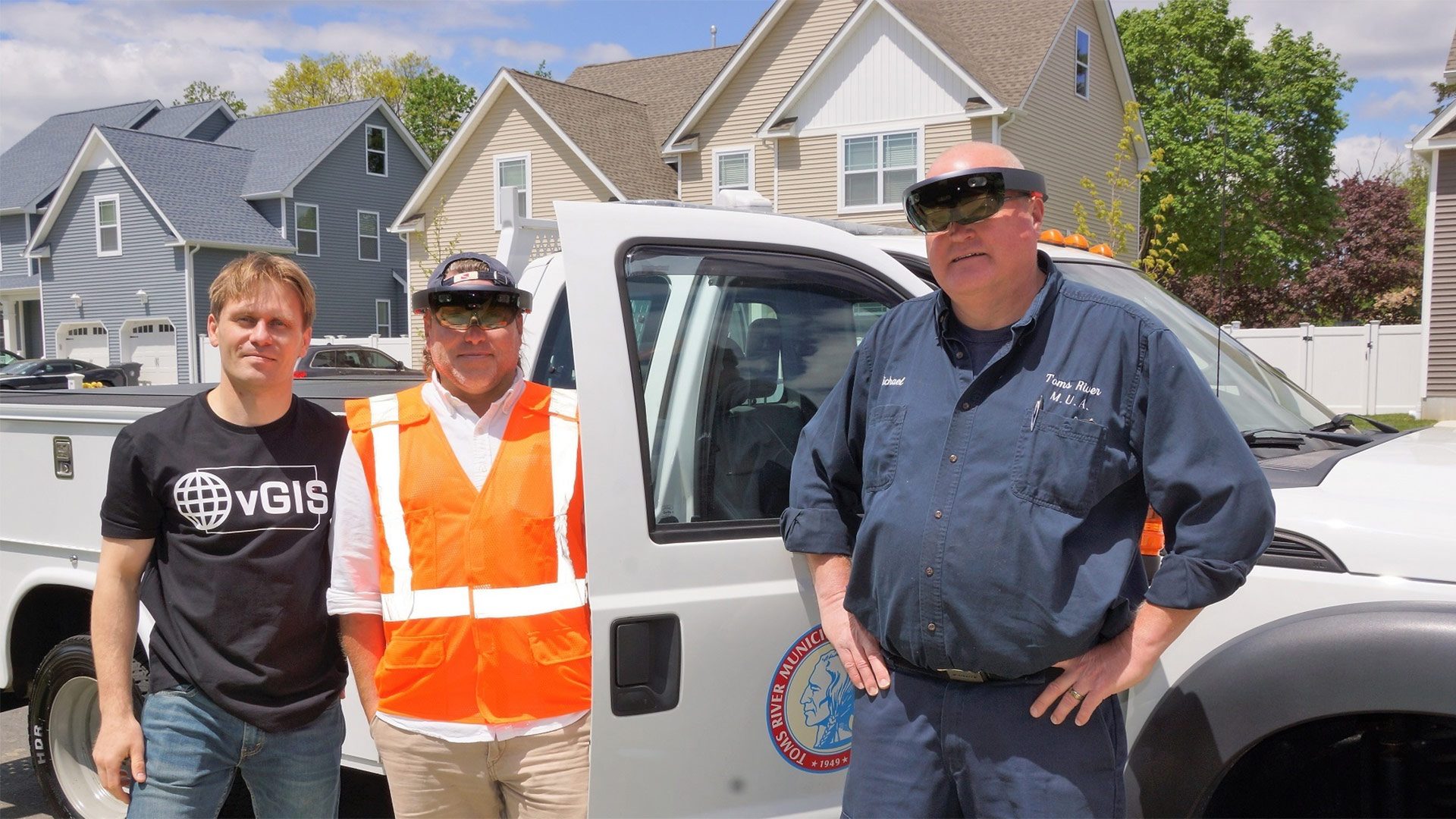
vGIS, a new geographic information system (GIS) visualisation platform from the Environmental Systems Research Institute (Esri) partner Meemim, is being used to view underground infrastructure while wearing Microsoft Hololens. Piloted by Toms River Municipal Utilities Authority in New Jersey, the technology is a practical application of augmented reality, allowing the user to ‘see’ utility lines under the street in real-time.
According to the report on Esri’s ArcNews publication, the system uses Meemim’s geocalibration process to accurately align the rendered visuals to the physical world, anchoring to visible GIS features such as sewer manholes. The vGIS interface supports voice commands and hand gestures, which allows fieldworkers to operate hands free as they retrieve information about the overhead and underground utilities. This real-time view of energy and drainage lines brings obvious benefits to planning and maintaining essential infrastructure in towns and cities.
“We are dealing with five or six utility lines underneath a street,” said Len Bundra, GIS director for Toms River MUA. “We have to locate our utility lines so that when we dig up a street, we are confidently aware of all other utilities around us. Given a more dynamic situation—a car hits a telephone pole, the pole collapses onto the street—seven separate agencies are on scene, each viewing [its] own GIS utilities on separate devices. What I am trying to do is provide all field personnel with one common interface to see all underground utilities beneath their feet—[so] one shared vision via a shared interface.”
Toms River MUA was the first client of Meemim, startup partner of GIS giant Esri, collaborating for eight months to bring their GIS data and the new AR technologies together. According to a report on T&D World, TRMUA already had its GIS data online through Esri’s ArcGIS platform, which Meemim could upload to its cloud service to be converted and delivered to the HoloLens in real-time.
Launched on January 14th, vGIS is a new platform for advanced visualisation of GIS across many devices, including augmented reality hardware. Its first product, vGIS Utilities, is already being used in many towns and cities to optimise essential municipal services.